Tour du Mont Blanc Trek
Read our day by day accounts on walking half the TMB in 6 days from Chamonix to Courmayeur. Our itinerary covers all the most spectacular sections and includes details of how to cut trail times for families or older generations.
This post is on Day 6 hiking in Italy from Refuge Elisabetta to Courmayeur. Click here to read the day before (Les Chapieux to Refuge Elisabetta). Links to all other days on our half circuit of the TMB can be found here.
Day 6 (stage 4) Tour du Mont Blanc – Refuge Elisabetta to Courmayeur
Hike time:
7 hrs with kids (compared to 4.5 hours, without stops, in the Cicerone guide)
Hike length:
13 km of walking (if you take the cable car down from Col Chécrouit to Dolonne)
Water fill ups?
Caban du Combal (after 1 hour), & then only streams until Refugio Maison Vielle at Col Chécrouit
The huge terminal moraines of the Miage glacier dominate the landscape from Lac Combal. Unfortunately you can no longer see the glacier from this view. Try and spot the tiny brown roof of Cabane du Combal – one of the best refuges on the Tour du Mont Blanc, on the middle left of the photo
Trail Overview
There are no cols to climb on stage 4 of the Tour du Mont Blanc trek, so it’s easy to presume that this stretch is not demanding. Think again.
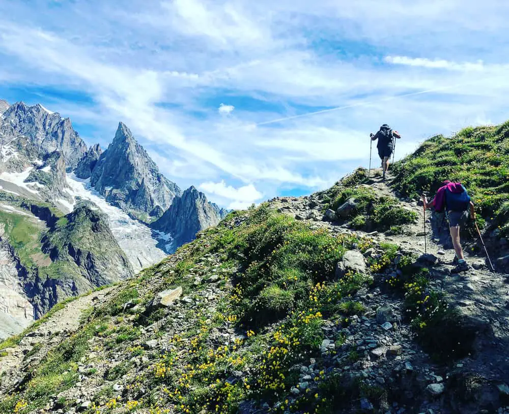
After an easy 1 hours walk from Refuge Elisabetta along an ancient, arrow straight Roman road, the trail climbs up the side of the V shaped, moat like Val Veni to the highest point of the day, the Mont Favre spur (2430m). With every step along the high balcony path, the sheer southern flanks of the imposing Mont Blanc Massif range rising on the opposite side, take your breath away. Whilst not particularly challenging, the deceiving nature of this balcony trail leads to you believe you’re almost there. Many times.
It’s a long day that should not be under estimated.
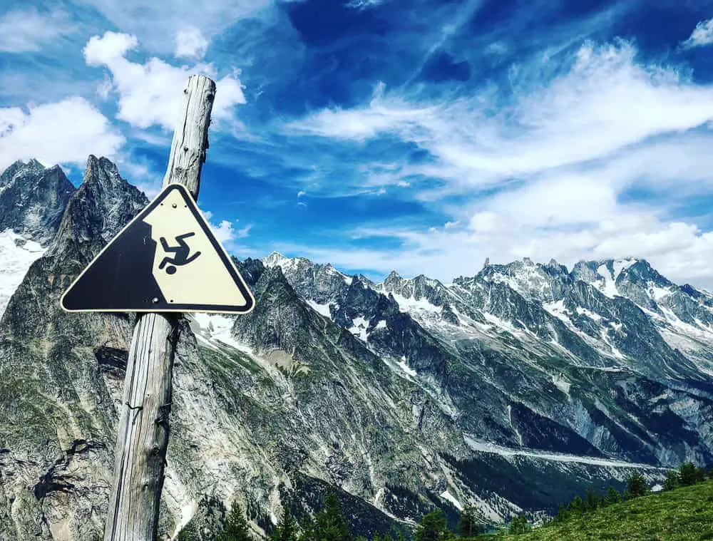
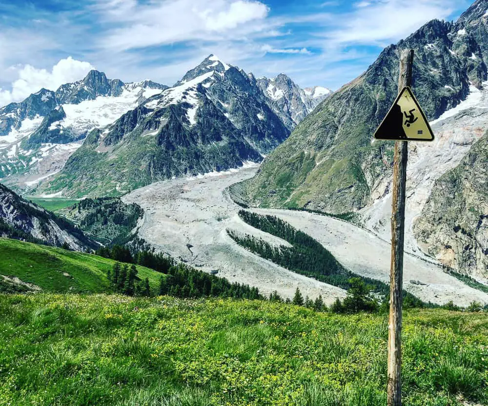
This stage of the Mont Blanc tour takes you high up on the south side of the deep trench of Val Veni in Italy. From this balcony trail, incredulous views stretch before you of the glorious jagged peaks of the Mont Blanc massif
Short cuts
It’s possible to slash this day into a couple of hours if time is limited or if the trail has overwhelmed you. Merely walk the 1 hour easy hike from Refugio Elisabetta along the Roman road to Pont Lac Combal to where the real road starts and continue along for a further 50 minutes onto the village of La Visaille. From here there’s a regular bus service straight to Courmayeur. We met one family on the trail who had limited time and so had chosen this option.
However, with shockingly jaw dropping views from the high balcony trail continuing on the traditional TMB route along the far side of the Val Veni, it would be a shame to miss this section. The incredible vistas this section allows, of the ice tongues of Glacier de Bruillard and Glacier de Fréney and the ragged, rocky snow covered peaks of the Mont Blanc massif are mesmerising and it really is one of the most scenic, dramatic stages of the entire Tour du Mont Blanc trail.
We hiked the majority of this leg, hiking along the high balcony path to drink in the enchanting scenery, and shortened the day by catching the chairlift and cable car down from Col Chécrouit to Dolonne (a village near Courmayeur) instead of hiking the descent. This short cut turns this day into an acceptable 7 hour hike, which includes lots of stops.
Our other Tour du Mont Blanc blog posts include Shortcuts on the TMB, the Tour du Mont Blanc refuges – the good, the bad and the ugly, plus day by day accounts of each days hike from Très-le-Champ to Courmayeur.
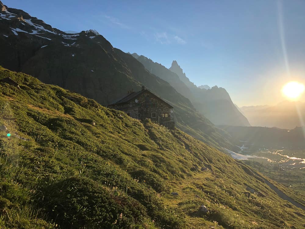
Refugio Elisabetta in her glorious location perched on a spur from the Pyramides Calcaires. A large, rustic refuge, accommodation is basic in dorms but good in private rooms. Food? For us not the best on the trail.
Refugio Elisabetta’s incredible location perched on a spur of the Pyramides Calcaires is breathtaking at sunrise. Be sure to get up early and venture out to inhale the sharp mountain air and gaze in wonder at the glaciers spilling down behind you from Mont de Neige.
We leave Refugio Elisabetta at 8am on a beautiful clear day. The signs indicate 4h 30 to Courmayeur. Don’t be fooled. It will take longer than this, particularly with children. However, the sign for the first leg of today is about right – 1 hr to Cabane du Combal, another refuge an hour down the road.
The descent from Refuge Elisabetta is a narrow, steep zig zag trail that meets a jeep track half way down. Look back up to see the impressive glacier snaking down behind you and watch Elisabetta diminish in size until she’s just a speck.
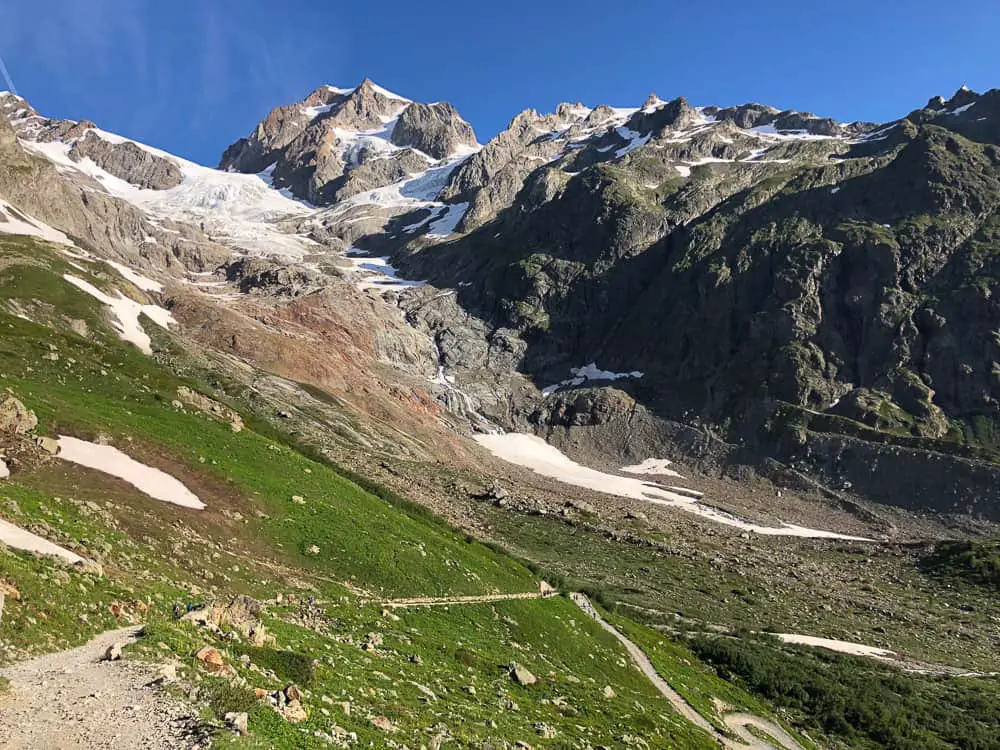
The Glacier de la Lée Blanche snakes down from the Dome de Neige almost to the back door of Refuge Elisabetta.
As the path hits the main track at the bottom of the valley, it levels out and you’ll cross a Roman bridge.
We spotted a perfect camping spot next to the river and indeed ended up chatting to these trekkers later on in the day.

It takes us around 20 minutes to negotiate our way down from the high position of Refugio Elisabetta to the bridge on the valley floor. The road, built by the Romans, is now perfectly straight cutting through the long, flat alluvial plain on either side. It’s an easy walk for the next 40 minutes to Cabane du Combal.
The landscape before you is dominated by the Aiguille Noire de Peuterey which soars to 3,773m above sea level. You’ll see this impressive pinnacle in the background of most of our photos from today and it was a pleasure to feast our eyes on it throughout our days trek.
Hiking the road is far from boring. Magnificent views surround you, from the milky blue water of the lake, the bright green fir trees sprouting from the moraine to the gorgeous chocolate box wooden refuge of Cabane du Combal.
It’s a pleasurable stroll and a good warm up for the legs before the uphill ascent of 520 metres to the highest point of today’s hike, the Mont Favre spur.
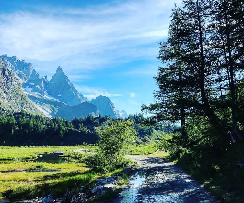
An old Roman road runs along the valley floor to the Pont Combal
Around hour after leaving Refuge Elisabetta (sooner if you’ve hit a strong stride!) you’ll reach the point where the TMB route turns off to the right up a narrow uphill trail. It’s just near the end of the straight road before you hit the bridge and almost opposite Cabane du Combal on the other side of the water.
It’s well marked with a mass of yellow signs so you won’t miss it. The trail will now ascend to the high balcony path which trails along the flank of the Val Veni and will continue all the way to the chairlift at Col Chécrouit.
However, my Mother was in need of a morning coffee and Cabane du Combal, wooing us with it’s charm, was merely a stone’s throw away. We decided to continue around, over the bridge and up to the A frame refuge to have a coffee and see what it was like. It’s only 10 minutes further on over the bridge and they sell excellent sandwiches in wonderful Italian bread.
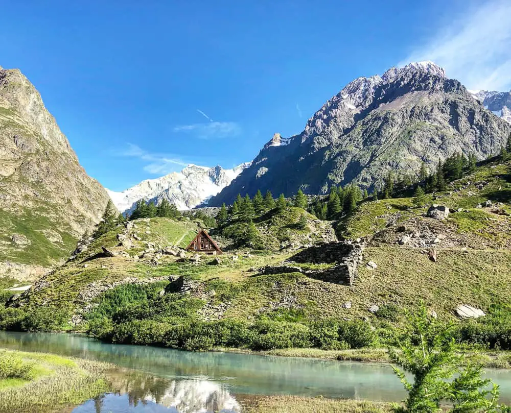
Cabane de Combale is an easy 40-60 minutes from Refuge Elisabetta on the old Roman road that connects the two.
Indeed, everything about Cabane du Combal is perfectly charming. This sweet A frame wooden building blends seamlessly into the landscape and is a picture postcard.
What we loved was that Cabane du Combal was run by ITALIANS!
We had been so excited walking over the border into Italy that we were actually in ITALY! So it had been rather a disappointment when we discovered Refuge Elisabetta was being run by mostly Spanish, and no-one seemed to be Italian at all. It wasn’t until we reached Cabane du Combal that we were treated to our first authentic ‘Ciao’ and re-fuelled on a fantastic ‘proper’ Italian coffee.
We would definitely recommend a stop here purely to buy your lunch. Over baguettes? The sandwiches here are in delicious Italian bread and kept us going all day.
>>>>> – – – – – >>>>> – – – – – >>>>> – – – – – >>>>> – – – – – >>>>> – – – – – >>>>>
Read our
Shortcuts via public transport on the Tour du Mont Blanc
>>>>> – – – – – >>>>> – – – – – >>>>> – – – – – >>>>> – – – – – >>>>> – – – – – >>>>>
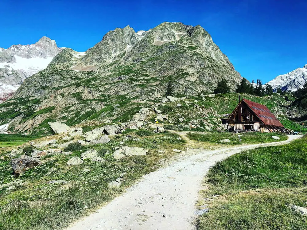
Gorgeous Cabane de Combal is cosy & comfortable with small rooms all with ensuite. Stay here if you want to get a really good night’s sleep. In a beautiful position with Lac Combal just a 10 minute walk up the hill.
While Refuge Elisabetta has the wow factor in location terms, Cabane du Combal commands a lovely spot in the lee of the peaks and is MUCH more comfortable than Elisabetta, boasting small private rooms, all ensuite. If you’re fussy about where you stay, or if you just want a better night’s sleep, walk the extra hour the day before to bed down here. You can only seem to book directly through the TMB’s website online here.
Check our Cabane du Combal’s trip advisor rave reviews here. Worth the extra walk for the extra comfort? You decide.
Lac Combal is just above the Cabane and it’s just a 10 minute hike up the trail behind the refuge to reach it. With the clock ticking, we weren’t able to scramble up and take in the milky green waters of this enchanting lake, but we would see it further on our trail looking down on it from a bird’s eye view from the high flank of the balcony trail.
We head back onto the road from Cabane du Combal. It’s here, before the bridge, that you can, if you wish, take the road to the village of Visielle, where you can catch a bus to Courmayeur. The sign indicates around 50 minutes to the village and its an easy walk along the road.
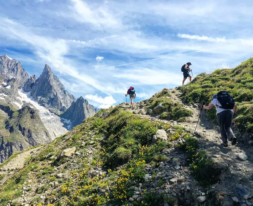
The mystical pinnacle of the Aiguille Noire de Peuterey belongs to one of the Hobbit movies. Not unlike Bilbo Baggins on his quest, we’re adventuring from refuge to refuge on this epic Tour du Mont Blanc circuit – one of the world’s most famous multi-day hikes.
We reach the juncture of the TMB path decorated with it’s tiny red flags waving in the breeze, and climb off the main road onto the narrow trail.
It’s all uphill now to the highest point on today’s trail, the Mont Favre spur (2430m). Another 520m of elevation to gain.
The spire of Aiguille Noire de Peuterey soars up in the landscape ahead of you (see photo above). This mystical pinnacle would easily be at home in one of the Hobbit movies. And, we’re not unlike Bilbo Baggins on his quest, as we walk from refuge to refuge on this epic Tour du Mont Blanc circuit – one of the world’s most famous multi-day hikes.
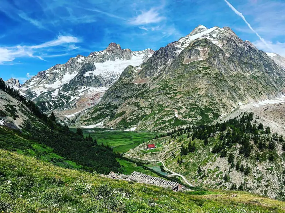
Can you spot the rusty roof of the Cabane de Combal far below (centre) and the edge of the wide rocky moraine spat out from the Glacier de la Lée Blanche twisting it’s way down to the valley (far right)
The first thing we come across after around 20-30 minutes are a few other trekkers resting from the blazing sunshine in the shadows of a ruined farm house, Alpe inférieur de l’Arp Vielle. It’s the perfect rest spot to marvel at the views back down Vallon de la Lée.
If you have binoculars you can even spot the minuscule speck of Refuigo Elisabetta far in the distance on the spur of the Pyramides Calcaires. Far below the rusty roof of Cabane de Combal breaks up the verdant valley, whilst the wide, rocky moraine, spat out from the 3 km long Glacier du Miage high above, twists it’s way down to the valley floor.
>>>>> – – – – – >>>>> – – – – – >>>>> – – – – – >>>>> – – – – – >>>>> – – – – – >>>>>
Read our post
Tour du Mont Blanc Refuges – the Good, the Bad and the Ugly
>>>>> – – – – – >>>>> – – – – – >>>>> – – – – – >>>>> – – – – – >>>>> – – – – – >>>>>
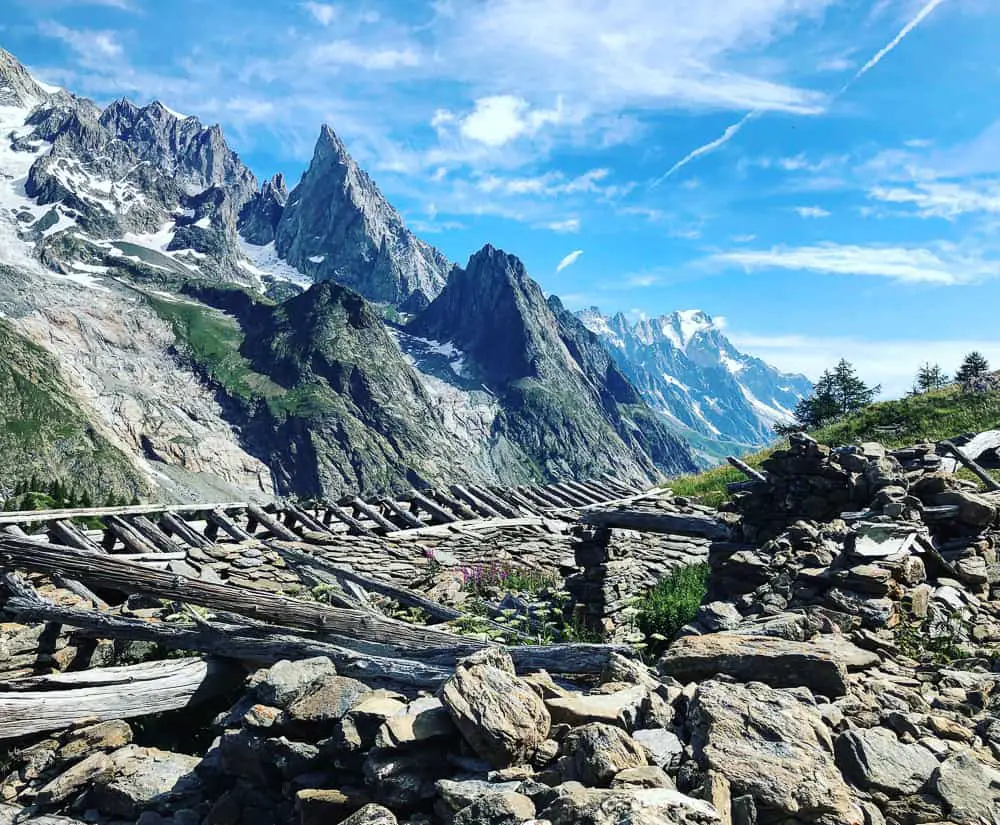
The first ruined barn you come across on the climb up to Mont Favre is the perfect place to have a break and take in the spectacular views
It takes us a further 1 hour and 40 minutes to reach a second ruin, Alpe supérieure de l’Arp Vielle (2,303m), where we stop for a well deserved lunch.
We are not climbing up and over a col (mountain saddle) into a different valley today, but it feels similar to it on the uphill climb to the Mont Favre spur (2430m).
In the photo below, from Alpe supérieure de l’Arp Vielle, you can see the vastness of the moraine from the receding Glacier Miage. From this vantage point the entire southern flank of the Mont Blanc massif is beginning to show itself. It’s easy to feel rather humble in the company of this incredible mountain range.
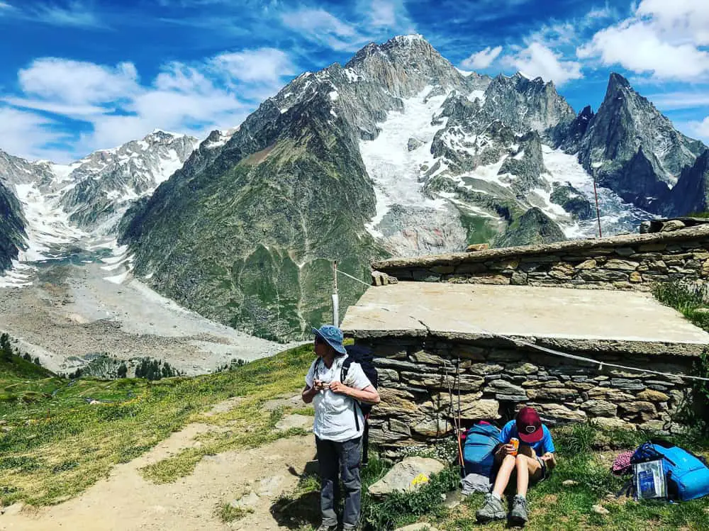
The second ruin, Alpe supérieure de l’Arp Vielle, on the way up to the Mont Favre spur commands spectacular views over the Glacier Miage moraine.
It takes another 30-40 minutes to climb the remaining 127m of elevation from Alpe supérieure de l’Arp Vielle to Mont Favre, the highest point of the walk.
We know we’re nearly there when we spot a group of dismantled trekkers spread out on the side of the path having a breather, taking photos and drinking in the views.
We do the same and it’s a heavenly moment to sit down and gaze at the glaciers before us spilling down the rocky faces of the Mont Blanc massif.
Before us the Aiguille Noire de Peuterey has merged inline with the massif and so is no longer dominating the landscape. The Glacier de Bruillard and Glacier de Fréney tumble down from Mont Blanc (which is sadly out of view, but directly there behind these peaks).
We’ve done a full half circle route around Mont Blanc from Chamonix to here and are right on the other side of Mont Blanc. We feel elated. A feat indeed.
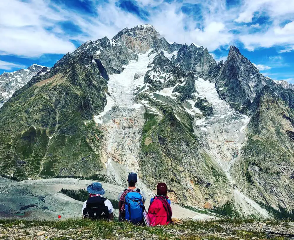
Gazing at Glacier de Bruillard and Glacier de Fréney tumbling. down from Mont Blanc.
The trail from here is now a high undulating balcony walk with the impenetrable north face of the Val Veni and Val Ferret soaring to spires and peaks to your left the entire way.
The trail dips down and traverses across a large basin with several dirty white stretches of stubborn névé snow still clinging to the mountain. It’s July 12th, so be aware that snow patches can still lay on the Tour du Mont Blanc trail well into the summer months, particularly if there’s been a large volume of snow during the winter.
We took with us hiking crampons to give us extra security on crossing snow patches on the trail. We can highly recommend Grivel hiking crampons which were lightweight but very secure on the snow.
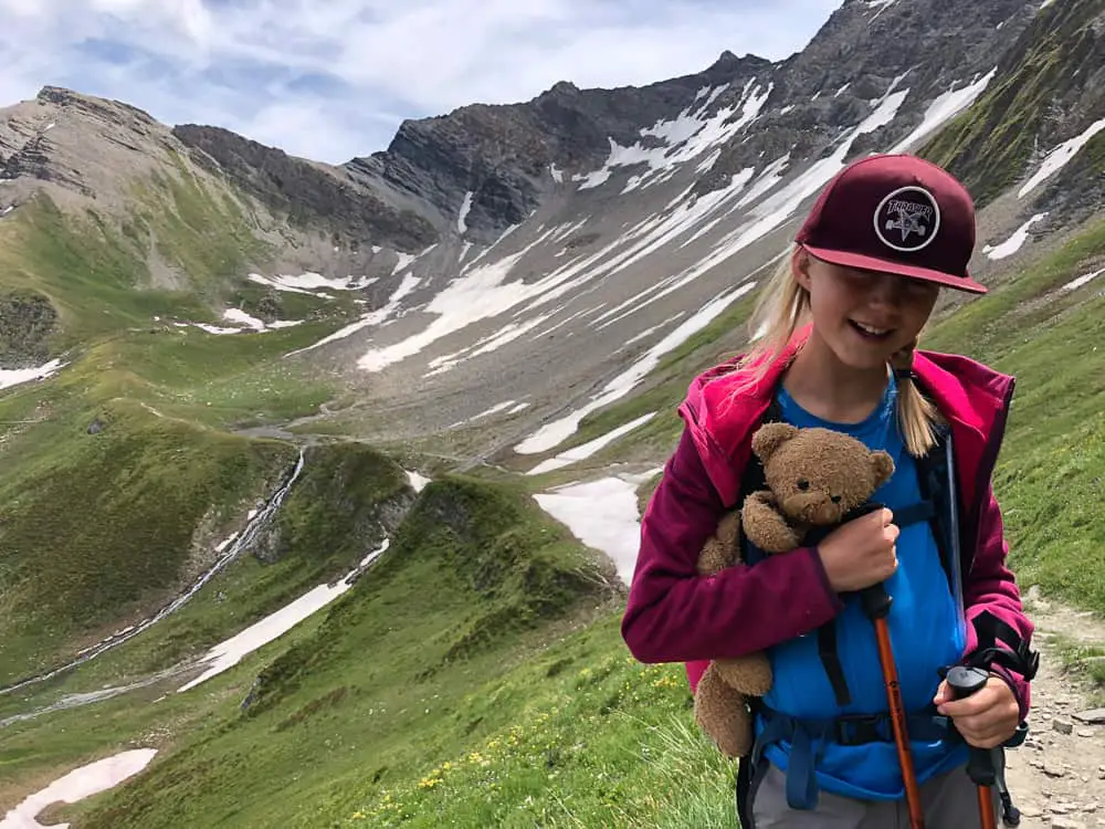
The undulating high balcony walk along the flank of Val Veni is long but easy enough.
One of our favourite parts of the entire TMB happened right here. Reaching the tiny Lac des Vesses, the path hops over some stepping stones on what feels like the edge of the mountain. The water escaping below our feet tinkles away down the the mountain side, our backdrop a painting of jaw dropping, jagged, snowy peaks.
This entire wetland was filled with frogs – something we were delighted to discover as we set up the camera for the video clip below.
It was a wonderful discovery for my 10 year old. She had a happy interlude (watching them hop as she prodded them) on what was to become a long slog stretch on the rest of the balcony trail.
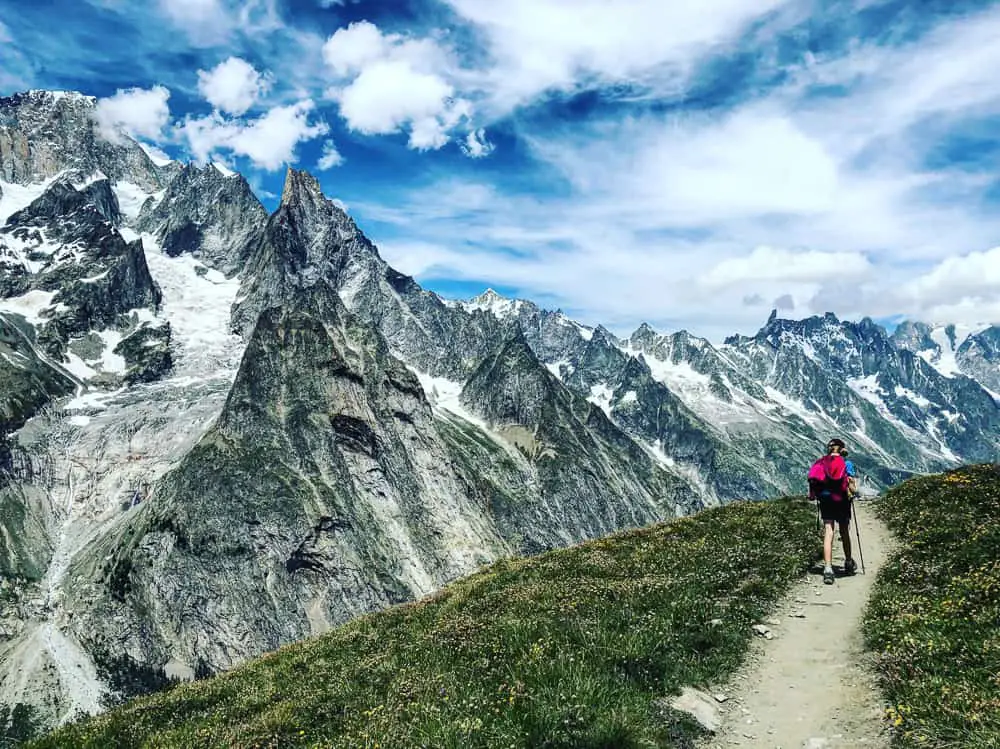
Trust me the landscape before you is astounding and it’s not at this point that you’re begging the cable car to be around the next bend – but that will come (smile).
Did you know?
The Tour du Mont Blanc route passes through seven valleys around the Mont-Blanc massif, an anti-clockwise start in Chamonix would lead through the Chamonix (or Arve) valley, then Montjoie, Vallee des Glaciers, Italian Val Veni, Val Ferret, Swiss Val Ferret, and either the Arpette or Trient valley in Switzerland, dependent on the route chosen.
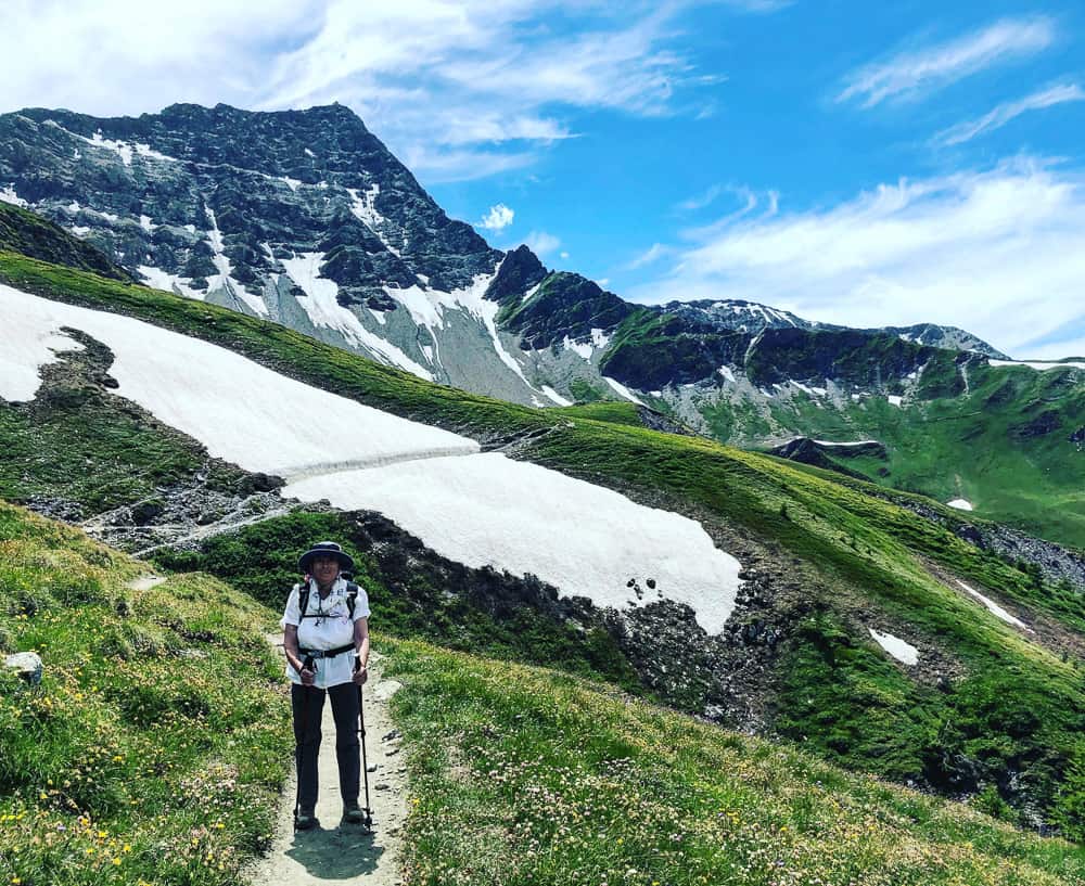
Fifteen minutes later we’re negotiating another neve patch spilling over the trail.
The balcony walk is beginning to feel longer and longer….
We plod on. Exhausted.
It’s definitely deceiving this balcony walk with it’s innocent rolling nature.
>>>>> – – – – – >>>>> – – – – – >>>>> – – – – – >>>>> – – – – – >>>>> – – – – – >>>>>
Read our
Tour du Mont Blanc Packing List
>>>>> – – – – – >>>>> – – – – – >>>>> – – – – – >>>>> – – – – – >>>>> – – – – – >>>>>
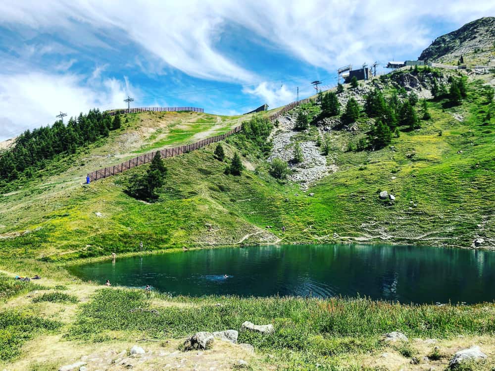
An hour after the frogs we finally pass Lac Chécrouit to the sound of shrieks of naked TMB trekkers as they plunge into the glacial water.
Ski lifts scar the landscape now and passing under a chairlift, gives us a lift of excitement. We can smell Courmayeur in the air and our feet pick up with a surge of energy.
It seems much more than merely half an hour later when we round a corner on the narrow forest trail to spot a stone and wooden building nestled in a knoll 50 metres below us. Maison Vielle.
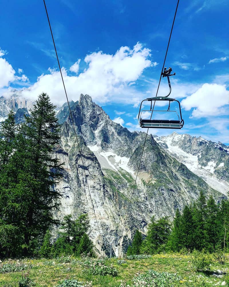
As we approached one foot in front of the other, barely speaking from tiredness, I spot a moving mechanism on the far side. My heart skips in the realisation that the chair lift is actually, can it really be, moving? I’d been told by the tourist office that the chairlift wouldn’t open for another week, and so we had resigned ourselves to a further hour and a half descent from Maison Vielle into Courmayeur.
As we approached, it became clear my weary eyes had not deceived me. The chair lift was open!
Whoops of joy all around as we realise our half circuit of Mont Blanc was right there, coming to an end. That these would indeed, be our last hiking steps on our grand adventure. It was over. Nearly.
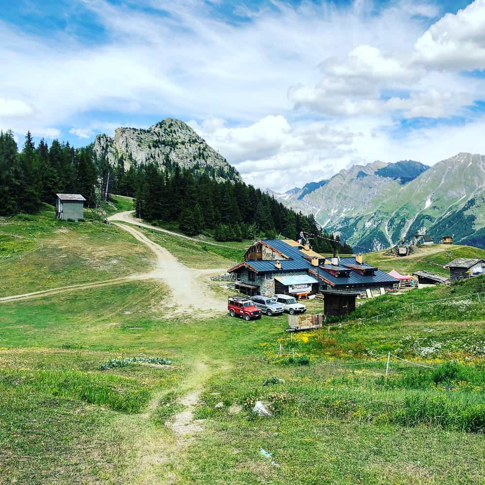
The Maison Vielle chairlift
We were overjoyed to see the chair lift at Maison Vielle working. We had been told by the Courmayeur tourist office that it would not yet be open – so do double check your dates with them. It was the 12th July when we took it down.
The Maison Vielle chairlift descends down to Plan Chécrouit (1702m) where you will then need to catch the telecabine down to the village of Dolonne (1221m).
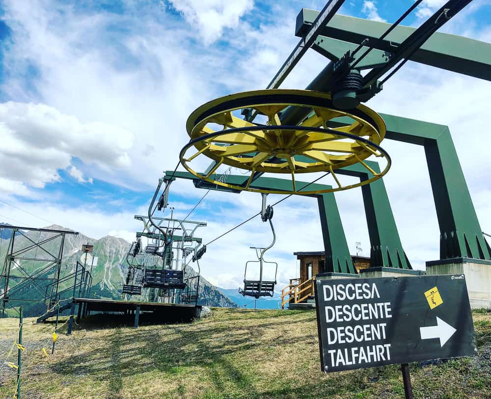
It costs €15 for an adult (and €9 for a child under 12 or over 65s) for both the chairlift and the telecabine down to Dolonne.
There is also a funicular that goes from Plan Chécrouit to Courmayeur but it wasn’t running when we were there. I don’t know why and it wasn’t included in the price list that was up, so it might be that this does not run in the summer. I will check with the Courmayeur tourist board. If it’s running then this would be the easiest option as if you descend to Dolonne, you would then need to catch the bus into Courmayeur.
If you’ve still got energy or if you’re on a budget and want to keep to it, the signs promise it’s only 30 minutes down to Plan Chécrouit, 1 hr 20 to Dolonne or 1hr 45 to Courmayeur.
From Dolonne a regular bus service takes you into the Italian town of Courmayeur. It’s a great place to have a day’s rest if you are continuing on the trail into Switzerland. If not, it’s here you can catch a bus through the Mont Blanc tunnel back to Chamonix.
Related TMB content
Read day 1 (stage 10) Tré-le-Champ to La Flégère
Read day 2 (stage 11) La Flégère to Les Houches
Read day 3 (stage 1) Les Houches to Les Contamines (& onto Nant Borrant refuge)
Read day 4 (stage 2) Nant Borrant Refuge to Les Chapieux
Read day 5 (stage 3) Les Chapieux to Refugio Elisabetta
Read day 6 – Tour du Mont Blanc – Stage 4 – Rifugio Elisabetta to Courmayeur
Tour du Mont Blanc Packing List
Ultimate guide to your self guided Tour du Mont Blanc
Tour du Mont Blanc Refuges – the good, the bad & the ugly
Tour du Mont Blanc Difficulty? Transport options on the TMB

